About
What is the Osceola Greenprint?
The Osceola Greenprint is an interactive web-based tool supplying data that can be used to better inform land use decisions, advance and sustainable development, and build healthy and resilient communities.

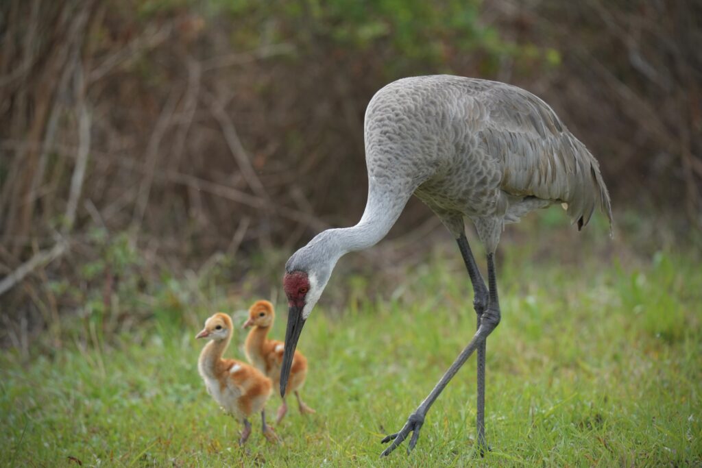
Sandhill cranes at Disney Wilderness Preserve © Val Hahn
The tool provides comprehensive geospatial datasets, facilitates analysis, and provides reports for users interested in integrating nature’s benefits into the land use planning process. By utilizing reliable sources of publicly accessible data, the Greenprint helps users identify, map, and understand the benefits that nature and can contribute to ecosystems, communities, and the local economy. It can also be used to identify communities affected by environmental pressures and offers to achieve .
The Osceola Greenprint is a free and publicly available resource accessible in both English and Spanish that can enable diverse groups of users to identify, assess, understand, and communicate the multiple benefits of natural infrastructure and where to incorporate nature-based solutions.
Goal of the Osceola Greenprint
As rapid growth and development pressures impact Florida’s ecosystems and wildlands, it is imperative that protection and conservation of our dwindling resources go hand in hand with decisions to advance smart growth and sustainable development.
The goal of the Osceola Greenprint is to help planners, agencies, academics, practitioners, community organizations, and other users of this tool include the benefits of natural infrastructure in conservation and smart growth planning while helping to avoid or mitigate adverse impacts from land use decisions on people and nature.
Kierstyn Cox
The Nature ConservancyThe Osceola Greenprint can help reinforce the preservation of natural, agricultural, and water resource lands to support rural economies, improve , and protect freshwater and wildlife in Osceola County.
How the Osceola Greenprint Works
The Greenprint provides a toolkit that includes:
- Analyze and Report: Users can select an area of interest for which the tool then analyzes the spatial data and reveals important information specific to that selected area for these resource themes:
 Overview
 Built Environment
 Wildlife Corridor
 Biodiversity & Habitat
 Freshwater
 Resilience
 Parks & Recreation
- Multi-Benefit Reporting: The user can select to view and add download a report that showcases nature’s benefits within the selected area of interest. The report presents multiple indicators and benefits and provides base information of natural and agricultural resources hotspots to help users evaluate nature’s benefits and their contribution to Osceola County. Users can download map images, tabular metrics, and GIS files for their area of interest.
- Simple and Advanced Reporting Tools: Users can select from a small set of predefined boundaries ranging from the whole county to cities and communities, or they can use more advanced tools to draw an area, upload shapes in common GIS formats, or select parcels by clicking the map or entering parcel ID numbers.
- Data Access: A web map, data portal, and associated metadata for natural, agricultural and water resource lands in Osceola County. Users can explore natural resource data in a web-based platform or download data into their own GIS environment.
Who Developed the Greenprint?
The Osceola Greenprint is a collaboration of The Nature Conservancy and GreenInfo Network. Funding for this project has been provided by ADS Foundation, Disney, and Duke Energy Foundation.
We would like to sincerely thank Alianza Center, Archbold Biological Station, Central Florida Regional Planning Council, Florida Native Plant Society – Pine Lily Chapter, Florida Wildlife Corridor Foundation, Friends of Split Oak Forest, Osceola County, and Sierra Club of Central Florida for their contribution to the Osceola Greenprint.